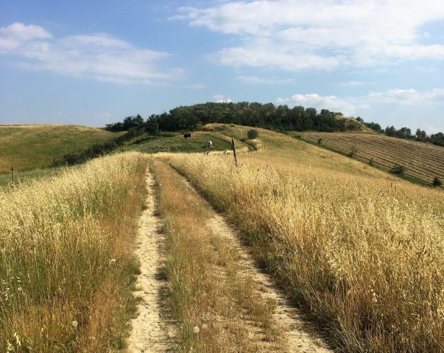
To the south of the town of Empoli, we find a vast, scarcely urbanised area, filled with vineyards and olive groves, woods, gentle hills and semi-hidden valleys. Gorgeous green countryside perfect for exploring on foot by seasoned hikers or novices. Just a stone’s throw from the town, the area amazes the visitor with its unexpected landscapes and stunning views. In conjunction with the Italian Alpine Club-Lower Valdarno, a number of paths within everyone’s reach have been identified, mapped out and signposted. So… get your backpack on, slip into a pair of comfortable shoes and hit the trail!

The starting point of the itinerary is the junction of Via Valdorme Nuova and Via delle Coltelline, a few kilometres from Empoli town centre. We start the trail by crossing the bridge over the Orme stream then turning right towards the Paradiso farm. Strolling among vineyards and olive groves, we soon reach the village of Montemagnoli. Then we head towards the valley of the Poggipiedi stream and climb the ridge that separates the waterways of the Orme the Ormicello. From above you can enjoy panoramic views of the surrounding countryside and, on clear days, the gaze can range up to the mountains of the Apennines. On the way back, the hiker feels totally immersed in the countryside, far from the noisy city, looking forward to returning soon to explore new trails.
Type of itinerary: loop
Departure and arrival point: Via Valdorme Nuova, junction with Via delle Coltelline
Distance: about 7 km
Elevation: 220 m
Time taken: 2 hours
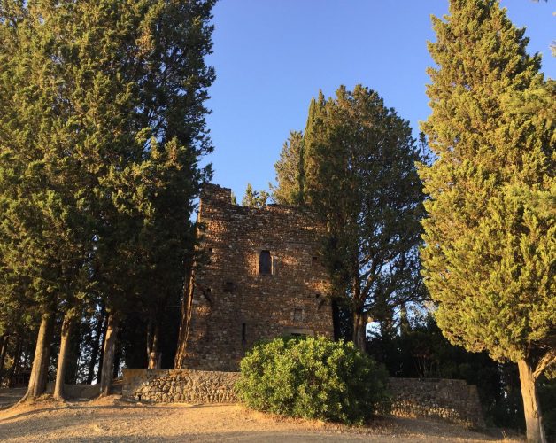
The itinerary begins at the Church of San Bartolomeo a Martignana, on the border between Empoli and Montespertoli. Climbing up towards the ridge amidst olive groves and holm-oak woods, we first skirt an area where the remains of an ancient kiln were found, and then come upon the ‘Torrino dei Sogni’, a medieval tower peeping out among lofty cypress trees. Moving on, we find some natural terraces offering breathtaking views of the gaping gullies that are a feature of this area; taking care not to slip, we can admire these extraordinary formations and the gently undulating hills of Valdelsa. The path then leads to the village of San Frediano and from here to the artificial lake of Camerata; finally, walking through vineyards and farmland, we reach Villa il Poggiale and Villa Bruschetti and then return to the starting point by following the provincial road past the old granaries of the Martignana estate.
Type of itinerary: loop
Departure and arrival point: Chiesa di San Bartolomeo a Martignana
Distance: about 7 km
Elevation: 220 m
Time taken: 2½ hours

