Towards the end of 1119, Count Guido Guerra decided to build a castle around the Parish Church of Sant’Andrea, in Empoli. No material traces remain of this first circle of walls, built by the inhabitants of Empoli themselves in exchange for a plot of land for housing purposes. We can work out its layout by examining the quadrilateral around the Collegiate Church made up of Via del Giglio, Via Ridolfi and Via del Papa, which run where the moats were once positioned The ancient Conti Guidi Palazzo must have been located in a position of control at the intersection of Via Pisana and the walls in a part of what is today Palazzo Ghibellino.
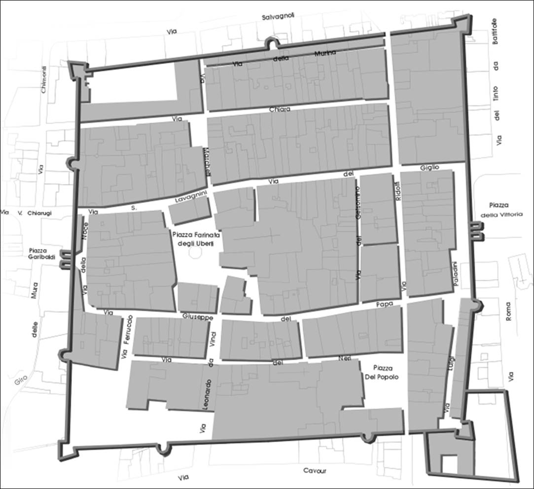
By the mid-13th century, this first circle of walls must have been inadequate for containing the expansion of the town. This is shown by traces of the extension of the castrum southwards beyond the present-day Via del Papa, which took place as early as 1254-55; this expansion led to the opening of a parallel street, the present-day Via de’ Neri. At the same time, to the north of the first settlement, the so-called Borgo Nuovo developed, looking onto what is now Via del Giglio, which must have been encircled by walls by around 1281. This development of the walls is attested to by the presence of two gates: Noce (1281, on Via del Papa) and Ospedale (1283, on Via del Giglio). Population, trade and, consequently, the town of Empoli itself, underwent a boom in those years, as documents indicate the presence of as many as 31 vintners and innkeepers in 1281.
On the road towards Pisa, between the two streets emerging from the walls (through the Noce and Ospedale gates), another borough was developing (today recognisable in the pointed shape of the block between Via Chiarugi and Via degli Orti) around a hospital for the poor.
In parallel, in the direction of Florence, the marketplace (mercatale), was already taking shape in 1283 in the area which today corresponds to Piazza della Vittoria and along which, in a north-south direction, the Borgo Salario was developing, which we can now match with the outline of Via Ridolfi.
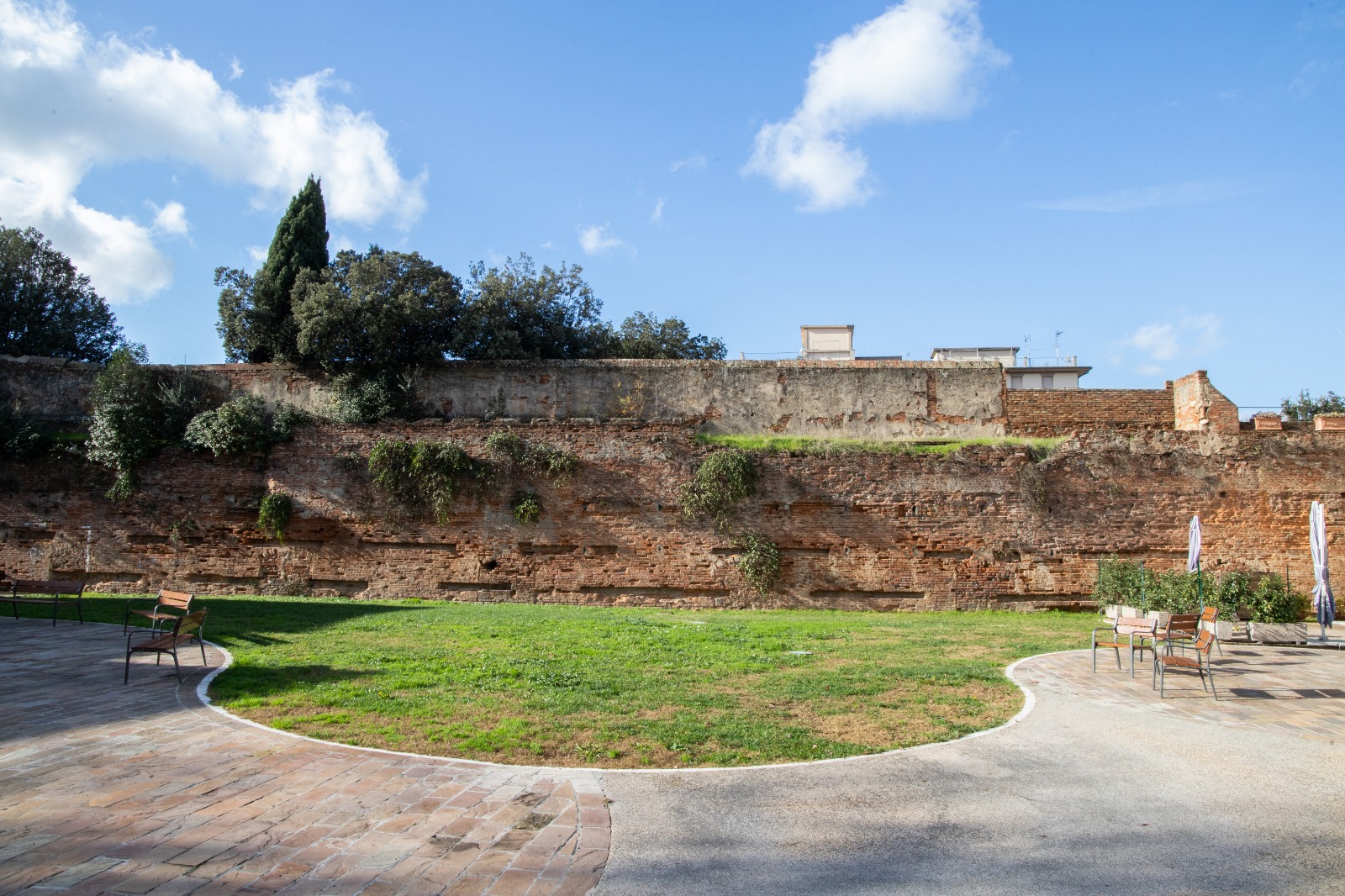
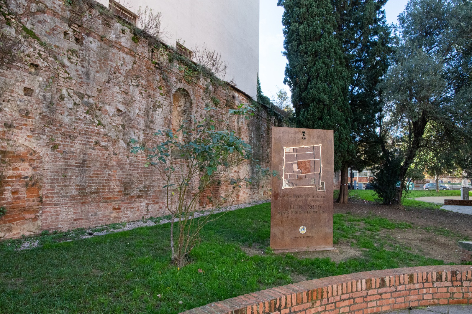
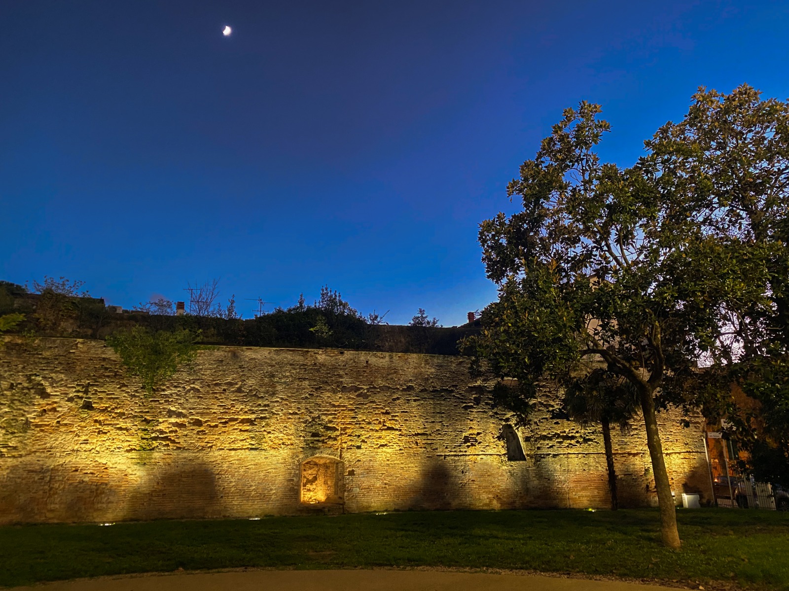
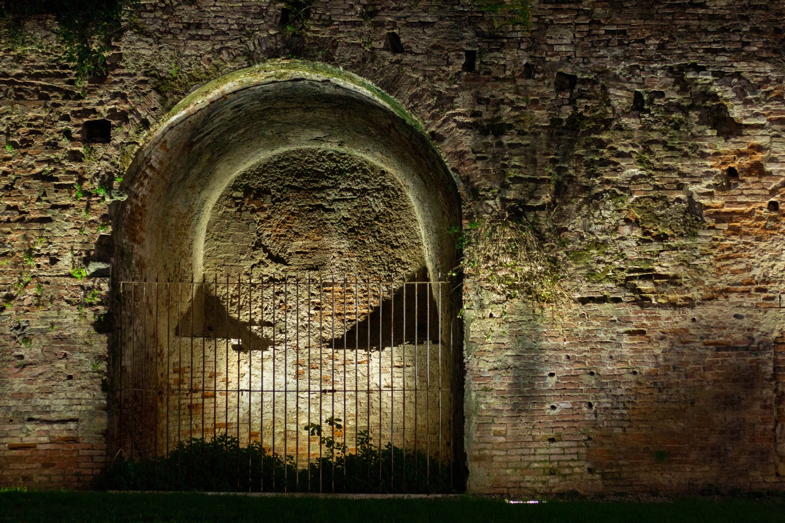
Although we have no definitive information about the construction of the first 14th-century circle, we do know that between the end of the 12th century and 1333, the year of the disastrous flooding of the Arno, Empoli was surrounded by walls and moats that ran beyond the present-day Via Chiara, Via Ridolfi and Via de’ Neri. . This time the town expanded mainly northwards, with the opening of the great east-west axis known as Via Chiara. The construction of the Town Hall on the site where Palazzo Pretorio now stands can be dated to 1326.
After the flood of 1333 irreparably damaged the circle of walls and part of the town, reconstruction of the walls commenced in 1336. The circuit was enlarged, this time towards the east (as can be seen by the opening of the two new Arno and Salaia Gates at the beginning and end of what is now Via Ridolfi) and towards the south, absorbing the houses to the south of what is now Via de’ Neri. Traces of this last extension can still be seen today in what remains of the Righi Tower and the Friars’ Tower (both of which face the current outline of Via Cavour).
Along Via Ombretta (now Via de’ Neri), the establishment of a new monastery of the Augustinian Friars was approved in 1367, and around 1372 work began on the construction of the Church of Santo Stefano which, after a period of standstill, resumed under Prior Michele (1390-1432).
At the same time, around 1365, the Salt Warehouse, the Magazzino del Sale, an imposing brick building used for storing salt from the Volterra salt pans, was built near the Arno Gate and today houses the Empoli Glass Museum.
After the plague of 1348 and up to the mid-15th century, owing to a decline in population and consequent economic stagnation, there was no need to further enlarge Empoli’s walls. The Florentine Republic, noting the appalling state of the 14th-century fortifications, decided in 1466 to rebuild Empoli’s walls in their entirety. The extension of walls – with embedded earth – was minimal, but the work lasted over 40 years and led to the construction of one of the largest brick infrastructures of the time: a square town wall with pentagonal bastions, interspersed with semi-circular towers and only two monumental gates (Porta Fiorentina and Porta Pisana). From 1497 onwards, Giuliano and Antonio da Sangallo were sent to oversee the work, which was completed in 1507.
From the early 19th century onwards, on account of population growth, the existence of numerous industrial activities and, no less importantly, the pointlessness of fortifications in a town at the heart of the Lorraine state, the walls began to be dismantled or ‘privatised’.
With the completion of the Leopolda railway line (1848), the construction of the bridge over the Arno (1855) and the opening of what is today Via Roma (1888), the road system now shifted outside the ancient city walls To this end, the south-western bastion and the embankment on which the hospital had been built in the 18th century were demolished. The rearrangement of the Campaccio (an area outside the Porta Fiorentina, today corresponding to Piazza della Vittoria) and the relocation of the Thursday market to this new square brought this important period of change to an end. Today, only a few sections of the ancient walls remain visible in Piazza XXIV Luglio and Via delle Murina, a single access gate (Porta Pisana) and some fortifications (the Santa Brigida, the Righi and Friars’ Towers, as well as the north-west bastion inside the present-day Convent of the SS. Annunziata).